Landforms Interactive Notebook Pack
|
|
|
- Jane Glenn
- 7 years ago
- Views:
Transcription


1 Only Passionate Curiosity Landforms Interactive Notebook Pack Hi! I m Heather. I am a homeschooling mother of four wild and little kiddos, and I blog over at Only Passionate Curiosity. On my blog, I try to share a little bit of what our homeschool life is like, all our triumphs and struggles. More than that, I try and share the things that are working for us free printables, a massive list of the free curriculum resources that we have found online, and tips and tricks that make our life easier. I hope you stop by the blog to check them out! Enjoy the printable pack! Terms of Use The contents of this printable pack are copyright protected and are for non-commercial use only. Print as many copies as you like for home or classroom use. You may not claim or sell these files as your own, host them on any website, or share them by any means, physical or digital. Please direct interested parties to download their own copy from Only Passionate Curiosity. Thank you for respecting our copyright! Try These Fun Geography Games:
2
3
4
5
6
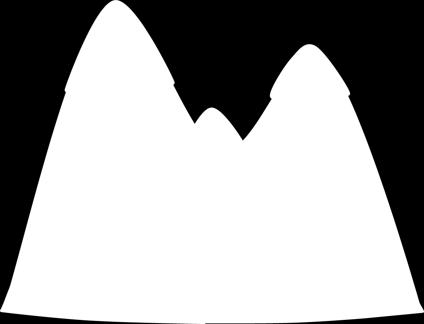
7 Instructions: Color the pictures. Layer the images, and staple them together using the bottom box. Write about the landforms in the top box.
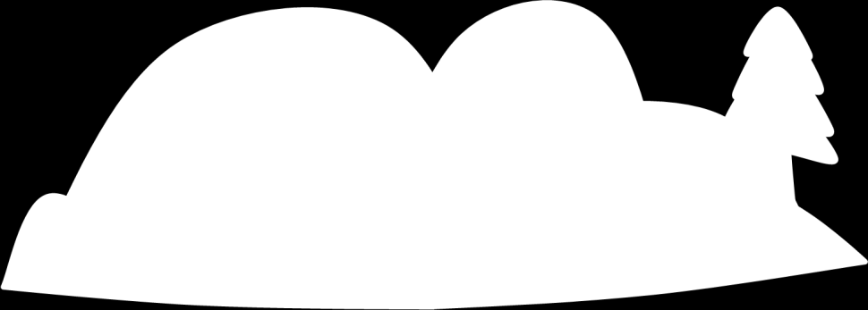
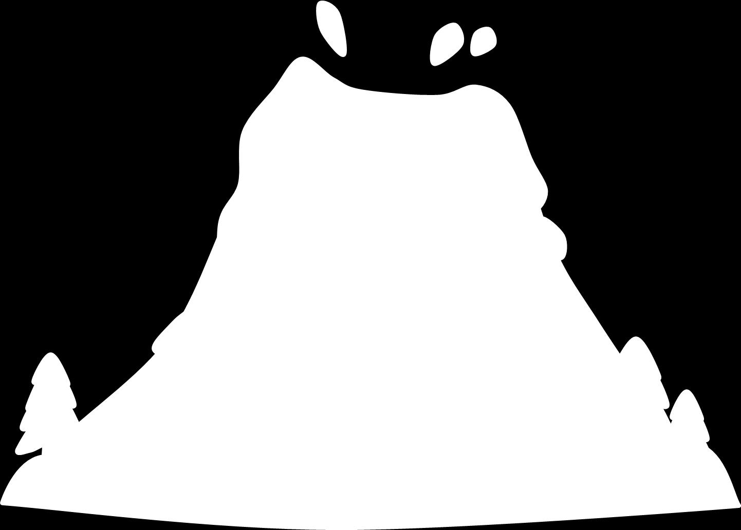
8 Glue here.

9

10 Isthmus A narrow strip of land, with water on either side, which connects two land masses. Butte A rock formation with steep sides.
11 cliff A cliff is a high, steep face of rock and soil. canyon A canyon is a deep valley with very steep sides. Canyons are often formed by erosion from a river over a long period of time. gulf A gulf is a part of the ocean that is partly surrounded by land. delta A delta a low, watery land formed at the mouth of a river. A delta is often shaped like a triangle. dune A dune is a hill or a ridge made of sand. Dunes are shaped by the wind, and change all the time. hill A hill is a raised area or mound of land. island An island is a piece of land that is surrounded by water. lake A lake is a large body of water surrounded by land on all sides. mesa A mesa is a land formation with a flat area on top and steep walls. mountain A mountain is a very tall high, natural place on Earth. It is taller than a hill. ocean An ocean is a large body of salt water that surrounds a continent. peninsula A peninsula is a body of land that is surrounded by water on three sides.
12 plateau A plateau is a large, flat area of land that is higher than the surrounding land. pond A pond is a small body of water surrounded by land. A pond is smaller than a lake. river A river is a large, flowing body of water that usually empties into a sea or ocean. strait A strait is a narrow body of water that connects two larger bodies of water. valley A valley is a low place between mountains. volcano A volcano is a mountainous vent in the Earth's crust. When a volcano erupts, it spews out lava, ashes, and hot gases from deep inside the Earth. waterfall When a river falls off a steep part of land (down a cliff or the side of a mountain), it is called a waterfall. Beach A beach is an area of sand sloping down to the water of a sea or lake Oasis An oasis is an area made fertile by a source of freshwater in an otherwise dry and arid region. Instructions: Have your child color the landforms, and cut them and the definitions out. Glue the landform images down using the top tab, and then match the definition to the picture, placing the definition underneath the flip up landform picture tabs. Cave A cave is a large hole in the ground or in the side of a hill or mountain. Glacier A glacier is a longlasting, slowly-moving river of ice on land.
13 Instructions: Write about the landforms inside the foldable book. Glue here. Landforms found near the ocean
14 Glue here. Instructions: Compare and contrast an Isthmus and a Canal using the Venn diagram. On the inside of the foldable, write examples of where these landforms can be found.
15 Glue here. Instructions: Write about the landforms.
16 Only Passionate Curiosity Instructions: Write about the landforms Glue here Glue here

17 Glue on the bottom of the map panel, fold on the dotted lines

18 Landforms of the United States Find the Great Lakes, and color them blue. Find the Gulf of Mexico and color it teal. Find the Mississippi River and trace it in Green. Find the Rocky Mountains, and draw purple triangles where they go. Find the peninsula, and color it red.
Earth Science Landforms, Weathering, and Erosion Reading Comprehension. Landforms, Weathering, and Erosion
 Reading Comprehension Name 1 How many people have been to the Rocky Mountains or the Grand Canyon? When people go to visit these natural wonders, they may not realize that it took millions of years for
Climate, Vegetation, and Landforms
 Climate, Vegetation, and Landforms Definitions Climate is the average weather of a place over many years Geographers discuss five broad types of climates Moderate, dry, tropical, continental, polar Vegetation:
BASIC LESSON Objective(s)
") [Geology - Landforms] [K-1: Basic] [Grades 2-3: Advanced] BACKGROUND Landforms are natural features of the Earth's surface. They are created by the movement of ice or water, earthquakes, lava flows, volcanoes,
[Geology - Landforms] [K-1: Basic] [Grades 2-3: Advanced] BACKGROUND Landforms are natural features of the Earth's surface. They are created by the movement of ice or water, earthquakes, lava flows, volcanoes,
LEARNING THE LANDFORMS Grade Level: Third Presented by: Elizabeth Turcott, Endeavor Charter Academy, Springfield, Michigan Length of Unit: 14 lessons
 LEARNING THE LANDFORMS Grade Level: Third Presented by: Elizabeth Turcott, Endeavor Charter Academy, Springfield, Michigan Length of Unit: 14 lessons I. ABSTRACT This unit develops an understanding of
Igneous rocks formed when hot molten material (magma) cools and hardens (crystallizes).
 cools and hardens (crystallizes).") Objectives You will learn about how the land of North Dakota was formed. Introduction North Dakota is a wonderful place to live. Have you ever though about how it was formed? To answer that question, you
Objectives You will learn about how the land of North Dakota was formed. Introduction North Dakota is a wonderful place to live. Have you ever though about how it was formed? To answer that question, you
Rapid Changes in Earth s Surface
 TEKS investigate rapid changes in Earth s surface such as volcanic eruptions, earthquakes, and landslides Rapid Changes in Earth s Surface Constant Changes Earth s surface is constantly changing. Wind,
NATURAL REGIONS OF KENTUCKY
 NATURAL WONDERS As you travel around Kentucky taking pictures, you are excited by what you see. Kentucky offers diverse and amazing sights. The Six Regions In the West, you see the Mississippi River, the
WEATHERING, EROSION, AND DEPOSITION PRACTICE TEST. Which graph best shows the relative stream velocities across the stream from A to B?
 NAME DATE WEATHERING, EROSION, AND DEPOSITION PRACTICE TEST 1. The diagram below shows a meandering stream. Measurements of stream velocity were taken along straight line AB. Which graph best shows the
2 Wind Erosion and Deposition
 CHAPTER 3 2 Wind Erosion and Deposition SECTION Agents of Erosion and Deposition BEFORE YOU READ After you read this section, you should be able to answer these questions: How can wind erosion shape the
Geomorphology is the Study of Landforms. Usually by Erosion, Transportation and Deposition
 Geomorphology is the Study of Landforms and the Processes that t Create Them, Usually by Erosion, Transportation and Deposition Fluvial = running water, rivers and floodplains Glacial = flowing ice in
Educator s Guide to Learning about Mexico Using Google Earth
 Educator s Guide to Learning about Mexico Using Google Earth Overview: Students will research the physical features of Mexico using Google Earth to learn about Mexico s oceans, gulfs, bays, lagoons, rivers,
Allows teachers to print reports for individual students or an entire class.
 Map and Globe Skills Developed by teachers and geography specialists, Map and Globe Skills provides the strategies, skills and practice your students need to develop a strong understanding of basic mapping
Viscosity and Volcano Types
 20 LESSON Viscosity and Volcano Types This photo, taken in 1943 in Paricutin, Mexico, shows an eruption of the Paricutin volcano at night. Glowing hot, broken rocks outline the shape of the volcano, called
The Earth, Sun, and Moon
 reflect The Sun and Moon are Earth s constant companions. We bask in the Sun s heat and light. It provides Earth s energy, and life could not exist without it. We rely on the Moon to light dark nights.
5-Minute Refresher: WEATHERING AND EROSION
 5-Minute Refresher: WEATHERING AND EROSION Weathering and Erosion Key Ideas Weathering is the wearing away of the surface of rock, soil, and minerals into smaller pieces. Example of weathering: Wind and
1. You are about to begin a unit on geology. Can anyone tell me what geology is? The study of the physical earth I.
 PLATE TECTONICS ACTIVITY The purpose of this lab is to introduce the concept of plate tectonics and the formation of mountains. Students will discuss the properties of the earth s crust and plate tectonics.
Second Grade Landforms/Sense of Place Project Tami Morrison Linderman Elementary School, Polson, MT
 Unit Overview Second Grade Landforms/Sense of Place Project Tami Morrison Linderman Elementary School, Polson, MT The purpose of this unit is to help students learn the major landforms on Earth, to relate
8/18/2014. Chapter 9: Erosion and Deposition. Section 1 (Changing Earth s Surface) 8 th Grade. Weathering
 8 th Grade. Weathering") Section 1 (Changing Earth s Surface) Weathering the chemical and physical processes that break down rock at Earth s surface Chapter 9: Erosion and Deposition 8 th Grade Mechanical weathering when rock
Section 1 (Changing Earth s Surface) Weathering the chemical and physical processes that break down rock at Earth s surface Chapter 9: Erosion and Deposition 8 th Grade Mechanical weathering when rock
 Benchmark Identify physical & human characteristics of places, regions in North America. Grade Level Indicator Describe, compare landforms, climates, population, vegetation, economic characteristics of
Deserts, Wind Erosion and Deposition
 Deserts, Wind Erosion and Deposition By definition, a desert has less than 10 in (25 cm) of precipitation per year. Deserts occur at 30 o and 60 o in regions of descending air. Deserts can be hot or cold.
Activity Book for Imaging Mars at High Resolution Grades K-3 Draft version
 Activity Book for Imaging Mars at High Resolution Grades K-3 Draft version Imaging Mars at High Resolution Written and developed by: Alexandra Davatzes and Virginia Gulick NASA Ames Research Center Mail
The concepts developed in this standard include the following: Oceans cover about 70% of the surface of the Earth.
 Name Date Grade 5 SOL 5.6 Review Oceans Made by SOLpass - www.solpass.org solpass100@comcast.net Reproduction is permitted for SOLpass subscribers only. The concepts developed in this standard include
Using a Concept Definition Map
 Lesson Plan Using a Concept Definition Map 1. Set Expectations Print Disaster on the board. Tell students, You are going to come up with as many words as you can that are related to the word disaster,
Ride the Rock Cycle. Suggested Goals: Students will gain an understanding of how a rock can move through the different stages of the rock cycle.
 Illinois State Museum Geology Online http://geologyonline.museum.state.il.us Ride the Rock Cycle Grade Level: 5 6 Purpose: To teach students that the rock cycle, like the water cycle, has various stages
not to be republished NCERT MAJOR LANDFORMS OF THE EARTH
 6 You must have seen some of the landform features as shown in the Figure 6.1 below. You will notice that the surface of the earth is not the same everywhere. The earth has an infinite variety of landforms.
Plate Tectonics Web-Quest
 Plate Tectonics Web-Quest Part I: Earth s Structure. Use the following link to find these answers: http://www.learner.org/interactives/dynamicearth/structure.html 1. Label the layers of Earth in the diagram
Module 2 Educator s Guide Investigation 3
 What similar physical processes occur on both Earth and Mars? Investigation Overview Could life exist on Mars? This is a question that humans have wondered about for centuries. What physical processes
6.E.2.2 Plate Tectonics, Earthquakes and Volcanoes
 Name: Date: 1. The road shown below was suddenly broken by a natural event. 3. The convergence of two continental plates would produce Which natural event most likely caused the crack in the road? island
Georgia Performance Standards Framework for Science Grade 6. Unit Organizer: Water in Earth s Processes. (Approximate Time: 5-6 Weeks)
") The following instructional plan is part of a GaDOE collection of Unit Frameworks, Performance Tasks, examples of Student Work, and Teacher Commentary. Many more GaDOE approved instructional plans are
The following instructional plan is part of a GaDOE collection of Unit Frameworks, Performance Tasks, examples of Student Work, and Teacher Commentary. Many more GaDOE approved instructional plans are
6 th Grade Science Assessment: Weather & Water Select the best answer on the answer sheet. Please do not make any marks on this test.
 Select the be answer on the answer sheet. Please do not make any marks on this te. 1. Weather is be defined as the A. changes that occur in cloud formations from day to day. B. amount of rain or snow that
Chapter Overview. Bathymetry. Measuring Bathymetry. Echo Sounding Record. Measuring Bathymetry. CHAPTER 3 Marine Provinces
 Chapter Overview CHAPTER 3 Marine Provinces The study of bathymetry charts ocean depths and ocean floor topography. Echo sounding and satellites are efficient bathymetric tools. Most ocean floor features
WEATHERING, EROSION, and DEPOSITION REVIEW
 WEATHERING, EROSION, and DEPOSITION REVIEW Weathering: The breaking up of rock from large particles to smaller particles. a) This Increases surface area of the rock which speeds the rate of chemical weathering.
Chapter 18 Introduction to. A f r i c a
 Chapter 18 Introduction to A f r i c a Ch. 18:1 Landforms & Resources 1. Africa s shape & landforms are the result of its location in the southern part of the ancient supercontinent of. Pangaea Over thousands
Earth Systems. atmosphere, geosphere, biosphere, hydrosphere. Made by Liesl at homeschoolden.com
 Earth Systems atmosphere, geosphere, biosphere, hydrosphere You may make as many copies as you need for your homeschool or classroom. Feel free to link to the original post. Feel free to use the image
God, the Great Creator
 Pre-Session Warm Up God, the Great Creator (Genesis 1: 2:3) Today we re going to start a new series of lessons all about God s attributes. An attribute is a character trait or quality about someone. For
Layers of the Earth and Plate Tectonics
 Layers of the Earth and Plate Tectonics Objectives: explain various ways the earth can be changed by natural forces define the term Geology define the terms Crust, Mantle, Outer Core and Inner Core classify
Rocks and Minerals What is right under your feet?
 Rocks and Minerals What is right under your feet? Name: 1 Before you start What do you already know? What is the difference between a rock and a mineral? What are the three categories of rocks? 1. 2. 3.
TECTONICS ASSESSMENT
 Tectonics Assessment / 1 TECTONICS ASSESSMENT 1. Movement along plate boundaries produces A. tides. B. fronts. C. hurricanes. D. earthquakes. 2. Which of the following is TRUE about the movement of continents?
Weathering, Erosion, and Soils. Weathering and Erosion. Weathering and Erosion
 Weathering, Erosion, and Soils 1 The Grand Canyon, a landscape shaped by weathering and erosion 2 Weathering vs. erosion Types of weathering Physical Chemical Rates of weathering and erosion Climate Rock
Unit 6 Earthquakes and Volcanoes
 Unit 6 Earthquakes and Volcanoes Earthquakes and Volcanoes: Essential Questions What evidence can students observe that the Earth is changing? How do scientists know what s inside the Earth? What processes
BREAKING RECORDS Teacher s notes
 BREAKING RECORDS Teacher s notes MINISTERIO DE EDUCACIÓN Level: 5 th year Primary Education (Third Cycle) Functions: 1. Familiarize children with words and expressions related to landmarks and the natural
FIRST GRADE VOLCANOES 1 WEEK LESSON PLANS AND ACTIVITIES
 FIRST GRADE VOLCANOES 1 WEEK LESSON PLANS AND ACTIVITIES PLATE TECTONIC CYCLE OVERVIEW OF FIRST GRADE VOLCANOES WEEK 1. PRE: Learning the shapes of volcanoes. LAB: Experimenting with "lava." POST: Comparing
SHREWSBURY SCHOOL ICELAND OCTOBER 2014
 SHREWSBURY SCHOOL ICELAND OCTOBER 2014 ABOUT ICELAND Your Destination - Iceland- Iceland ABOUT ICELAND Your Destination - Iceland - Iceland YOUR Your itinerary ABOUT ICELAND Your destination - Iceland
Student Exploration: Plate Tectonics
 Name: Date: Student Exploration: Plate Tectonics Vocabulary: collisional boundary, convergent boundary, crust, divergent boundary, earthquake, lithosphere, mantle, plate, plate tectonics, transform boundary,
The Earth System. The geosphere is the solid Earth that includes the continental and oceanic crust as well as the various layers of Earth s interior.
 The Earth System The atmosphere is the gaseous envelope that surrounds Earth. It consists of a mixture of gases composed primarily of nitrogen, oxygen, carbon dioxide, and water vapor. The atmosphere and
Tectonic plates have different boundaries.
 KEY CONCEPT Plates move apart. BEFORE, you learned The continents join and break apart The sea floor provides evidence that tectonic plates move The theory of plate tectonics helps explain how the plates
Mixtures. reflect. How is seawater different from pure water? How is it different from rocky soil?
 reflect Everything around us is made out of tiny bits of matter. These particles may combine in different ways to produce new materials. Sometimes we need to separate the parts of a material. If we know
Glacier Erosion Notes
 Name Date ES per Mr. Landsman Glacier Erosion Notes Erosion: the of weathered material. Glacier: A large mass of ice and snow that exists year-round and moves under the influence of. Evidence for Glacier
Investigation 6: What happens when plates collide?
 Tectonics Investigation 6: Teacher Guide Investigation 6: What happens when plates collide? In this activity, students will use the distribution of earthquakes and volcanoes in a Web GIS to learn about
Volcanoes and More: A Visit to Two National Parks in Hawaii
 VOA Special English is a daily news and information service for English learners. Read the story and then do the activities at the end. MP3s of stories can be found at voaspecialenglish.com Volcanoes and
Unit Template for NGSS Units of Study (Jean Ward 2015)
") Unit Template for NGSS Units of Study (Jean Ward 2015) Title of Unit Earth s Systems Grade Level 5 Curriculum Area Earth Science Time Frame 3-4 Weeks Developed by Patricia L. Preseault Desired Results
Unit Template for NGSS Units of Study (Jean Ward 2015) Title of Unit Earth s Systems Grade Level 5 Curriculum Area Earth Science Time Frame 3-4 Weeks Developed by Patricia L. Preseault Desired Results
Web of Water. Teacher s Guide Webisode 1 Blue Ridge
 Web of Water Teacher s Guide Webisode 1 Blue Ridge Table of Contents About Blue Ridge.... 3 South Carolina Science Standards.. 4 Discussion Questions.. 10 Knowitall Resources....... 13 Credits..... 14
What are the Different Types of Landforms?
 What are the Different Types of Landforms? Social Studies 1 st Grade 5 Lessons, approx. 25 minutes each Miss Emily Schreiner November 2013 P a g e 2 Table of Contents Rationale page 3 Stage 1 page 4 Stage
11A Plate Tectonics. What is plate tectonics? Setting up. Materials
 11A Plate Tectonics What is plate tectonics? Earth s crust plus the upper mantle forms the lithosphere. Earth s lithosphere is broken in a number of different pieces. How these pieces move and interact
Ocean Floor Continental Slope Begins at the Continental Shelf Very sharp drop to depths over 2 miles Covered with thick layers of sand, mud, and rocks
 Ocean Floor Continental Shelf Begins at the shoreline Gently slopes underwater Average depth of 430 feet Thick layers of sand, mud, and rocks The beach is part of the Continental Shelf Ocean Floor Continental
The rock cycle. Introduction. What are rocks?
 The rock cycle This Revision looks at the three types of rock: sedimentary, igneous and metamorphic. It looks at how they are formed, the weathering of rocks and the way one form of rock turns into another,
Earth Science: Sphere Interactions
 Earth Science: Sphere Interactions Objective: Understanding connections between spheres of the Earth as a Global system Standards: 5a, 5b, 5c, and 5f Earth Apollo 17 astronauts captured a snapshot of the
Chesapeake Bay Governor School for Marine and Environmental Science
 Choose the best answer and write on the answer sheet provided. 1. Which of the following is LEAST likely to be an effect of global warming? (a) Loss of fertile delta regions for agriculture (b) Change
Physical Geography [9th grade]
![Physical Geography [9th grade]](/thumbs/40/21789377.jpg "Physical Geography [9th grade]") Trinity University Digital Commons @ Trinity Understanding by Design: Complete Collection Understanding by Design 6-2014 Physical Geography [9th grade] Meghan Harrington Trinity University, mharrin1@trinity.edu
Trinity University Digital Commons @ Trinity Understanding by Design: Complete Collection Understanding by Design 6-2014 Physical Geography [9th grade] Meghan Harrington Trinity University, mharrin1@trinity.edu
The Geography of Where We Live. Teacher s Masters California Education and the Environment Initiative
 3 Teacher s Masters California Education and the Environment Initiative History-Social Science Standards 3.1.1. and 3.1.2. Supports ELA Standard: Reading 3.1.5. The Geography of Where We Live California
Instructions. Tic, Tac, Toe Take turns placing a piece down. The first player to get 3 in a row (up, down or diagonally) wins!
 wins!") Thank you so much for downloading my Superhero unit. I hope you have lots of fun using it with your children. Please note that this unit is for your PERSONAL use only! That means that your may use it with
Thank you so much for downloading my Superhero unit. I hope you have lots of fun using it with your children. Please note that this unit is for your PERSONAL use only! That means that your may use it with
Rocks & Minerals. 10. Which rock type is most likely to be monomineralic? 1) rock salt 3) basalt 2) rhyolite 4) conglomerate
 rock salt 3) basalt 2) rhyolite 4) conglomerate") 1. Of the Earth's more than 2,000 identified minerals, only a small number are commonly found in rocks. This fact indicates that most 1) minerals weather before they can be identified 2) minerals have
1. Of the Earth's more than 2,000 identified minerals, only a small number are commonly found in rocks. This fact indicates that most 1) minerals weather before they can be identified 2) minerals have
Plate Tectonics. Hi, I am Zed and I am going to take you on a trip learning about Plate Tectonics. And I am Buddy Zed s mascot
 Plate Tectonics Hi, I am Zed and I am going to take you on a trip learning about Plate Tectonics And I am Buddy Zed s mascot Continental Drift Alfred Wegener proposed that continents were not always where
THE STRUCTURE OF THE EARTH
 THE STRUCTURE OF THE EARTH Contents 1. Main Objectives 2. Useful Websites 3. Pupil Vocabulary Cards 4. Word Wall Cards 5. Glossary 6. Key Question Cards 7. Prior Learning Diagram 8. Hands-on Activities
How can you tell rocks apart?
 How can you tell rocks apart? Grade Range: 4-7 G.L.E Focus: 1.1.5 Time Budget: 1 1.5 hours WASL Vocabulary: Overview: Different rocks have different characteristics because of their minerals, the ways
Volcanoes Erupt Grade 6
 TEACHING LEARNING COLLABORATIVE (TLC) EARTH SCIENCE Volcanoes Erupt Grade 6 Created by: Debra McKey (Mountain Vista Middle School); Valerie Duncan (Upper Lake Middle School); and Lynn Chick (Coyote Valley
GUZZLER LEARNS ABOUT CHEMICAL ENERGY: DESIGN AND MAKE A LAVA LAMP
 Equipment Vegetable oil, water, 2 measuring jugs one for water and one for oil, clear plastic bottle*, funnel, food colouring and dropper, a tablet that does not fizz when added to water (eg a non-effervescent
Third Grade Science Vocabulary Investigation Design & Safety
 recycle dispose reuse goggles data conclusion predict describe observe record identify investigate evidence analyze mass matter float sink attract force magnet magnetic magnetism pole pull push repel Third
Who am I? 2 pixel/cm. Can you guess who I am? Write your guess here:
 Who am I? Below is a photo of a famous person. You will see the image first at low resolution, then at medium resolution and finally at high resolution. Resolution is a measure of how much detail you can
Effects of Water Classroom Activity
 Effects of Water Classroom Activity The Classroom Activity introduces students to the context of a performance task, so they are not disadvantaged in demonstrating the skills the task intends to assess.
What I Learned. List the three most important things you learned in this theme. Tell why you listed each one. Name. 22 Geography Learning Masters
 What I Learned List the three most important things you learned in this theme. Tell why you listed each one. 1. 2. 3. 22 Geography Learning Masters How I Learned Think about reading the books in this theme.
The Regions of the United States
 CHAPTER 1 Identify characteristic landforms of the five major regions of the United States. Describe, compare, and contrast regional climates of the United States. Identify regional resources of the United
UNIT 3: Volcanoes in Washington State and Tanzania
 UNIT 3: Volcanoes in Washington State and Tanzania By Nani Castor-Peck, John Stanford International School, Seattle, WA Introduction: One geographic feature that Washington State and Tanzania have in common
II. III. IV. RESOURCES A. Best Buy Bargain Books, Social Studies K-1 by Frank Schaffer ISBN 0867344512
 What on Earth is...a Map?...a Globe? Grade Level: Kindergarten Written by: Lisa Fagan Cross County Elementary, Teressa Davis Vanndale Elementary, Amy Searcy, and Cheryl Green Hickory Ridge Elementary,
Learn more at www.pbs.org/nature
 Lesson Title: Vibrant Volcanoes Grade level: 2 4 Topic/Subject Matter: Earth Science Time Allotment:1-2 class periods Overview This lesson will introduce elementary students to the fiery and explosive
Advice For the multiple-choice questions, completely fill in the circle alongside the appropriate answer(s).
.") SPECIMEN ASSESSMENT MATERIAL GCSE GEOGRAPHY Paper 1 Living with the physical environment Specimen Materials For this paper you must have: a pencil a ruler. Time allowed: 1 hour 30 minutes Instructions
SPECIMEN ASSESSMENT MATERIAL GCSE GEOGRAPHY Paper 1 Living with the physical environment Specimen Materials For this paper you must have: a pencil a ruler. Time allowed: 1 hour 30 minutes Instructions
This site inspired the lapbook. Every page just screamed lapbook at me. You ll see I was inspired to make some new types of pieces.
 Welcome to the Ocean Lapbook! This lapbook covers only temperate oceans. It does not cover coral reefs. There is a free coral reefs lapbook at Homeschoolshare.com. All of the information you need for this
LANDFORMS OF THE EARTH STD VIII
 LANDFORMS OF THE EARTH STD VIII 1) What do you understand by the term geomorphology? A) Geomorphology is the systematic study of the Earth s relief features. Geo means earth; morph meaning form and ology
Solar System Fact Sheet
 Solar System Fact Sheet (Source: http://solarsystem.nasa.gov; http://solarviews.com) The Solar System Categories Mercury Venus Earth Mars Jupiter Saturn Uranus Neptune Rocky or Gas Rocky Rocky Rocky Rocky
Some Processes that Change the Earth s Surface
 PART ONE Some Processes that Change the Earth s Surface Science standards To prepare students to understand the Essential Academic Learning Requirements (EALRs) introduced at middle school, this series
Geography Gr 10 to Gr 12
 Gr 10 to Gr 12 From Grade 10 to Grade 12 the subject of is offered in The NSC stream at the DSJ. In this regard the school has to follow the requirements and syllabii of the CAPS document for as set out
KINDERGARTEN PLATE TECTONICS 1 WEEK LESSON PLANS AND ACTIVITIES
 KINDERGARTEN PLATE TECTONICS 1 WEEK LESSON PLANS AND ACTIVITIES PLATE TECTONIC CYCLE OVERVIEW OF KINDERGARTEN VOLCANOES WEEK 1. PRE: Learning that all mountains are not volcanoes. LAB: Investigating rocks
Plate Tectonics Short Study Guide
 Name: Class: Date: Plate Tectonics Short Study Guide Multiple Choice Identify the letter of the choice that best completes the statement or answers the question. 1. The existence of coal beds in Antarctica
College of Science and Health ENVIRONMENTAL SCIENCE & GEOGRAPHY Course Outline
 College of Science and Health ENVIRONMENTAL SCIENCE & GEOGRAPHY Course Outline 1. TITLE OF COURSE AND COURSE NUMBER: General Geology ENV 115, 4 credits 2. DESCRIPTION OF THE COURSE: Includes the study
Little Blue and Little Yellow: A Story for Pippo and Other Children. Little Blue and Little Yellow: Predicting the Story Critical Thinking
 Little Blue and Little Yellow: A Story for Pippo and Other Children (ASTOR-HONOR, 1959) This Book s Message or Theme - - Friends come in all colors. Friends can affect each other s lives. About the Book
Focus On You Photography TRT from Brockway Summit to Watson Lake
 Tahoe Rim Trail (TRT) From Hwy 267 (Brockway Summit) west to Watson Lake (Strong Intermediate Advanced) This trail is very demanding. It is almost 2100 ft. of climbing. The trail is up and down, up and
EARTH SCIENCE ACTIVITY #1 Tsunami in a Bottle
 EARTH SCIENCE ACTIVITY #1 Tsunami in a Bottle Grades 3 and Up This activity is one of several in a basic curriculum designed to increase student knowledge about earthquake science and preparedness. The
Earth Science Chapter 14 Section 2 Review
 Name: Class: Date: Earth Science Chapter 14 Section Review Multiple Choice Identify the choice that best completes the statement or answers the question. 1. Which of the following is NOT one of the three
Fifteen 45 minute class periods. Length of Unit: STAGE 1: DESIRED RESULTS. Geography of Virginia. Name: Wilma W. Tyler 4 th Grade Virginia Studies
 Geography of Virginia Name: Wilma W. Tyler 4 th Grade Virginia Studies Major Topic for the Unit of Instruction: Relative Location of Virginia, Regions, and Water Features Length of Unit: Fifteen 45 minute
How Did These Ocean Features and Continental Margins Form?
 298 10.14 INVESTIGATION How Did These Ocean Features and Continental Margins Form? The terrain below contains various features on the seafloor, as well as parts of three continents. Some general observations
1. A student found a sample of a solid material that was gray, shiny and made of all the same material. What category does this sample best fit?
 Grade 4 Standard 3 Unit Test A Earth Materials Multiple Choice 1. A student found a sample of a solid material that was gray, shiny and made of all the same material. What category does this sample best
Name Score /225. (Make sure you identify each key concept by identifying the section [1.1, 1.2, etc.].]
![Name Score /225. (Make sure you identify each key concept by identifying the section [1.1, 1.2, etc.].]](/thumbs/40/21046969.jpg "Name Score /225. (Make sure you identify each key concept by identifying the section [1.1, 1.2, etc.].]") Name Score /225 Changing Earth Chapter 1 Worksheet Before reading Chapter 1 (pages 9 37). On a separate sheet of paper, make two columns. Title the first column Before I Read. Title the second column After
Name Score /225 Changing Earth Chapter 1 Worksheet Before reading Chapter 1 (pages 9 37). On a separate sheet of paper, make two columns. Title the first column Before I Read. Title the second column After
FOURTH GRADE PLATE TECTONICS 1 WEEK LESSON PLANS AND ACTIVITIES
 FOURTH GRADE PLATE TECTONICS 1 WEEK LESSON PLANS AND ACTIVITIES PLATE TECTONIC CYCLE OVERVIEW OF FOURTH GRADE VOLCANOES WEEK 1. PRE: Comparing different structures of volcanoes. LAB: Modeling three types
Water Cycle. DELTA SCIENCE READER Overview... 123 Before Reading... 124 Guide the Reading... 125 After Reading... 130
 Water Cycle T ABLE OF CONTENTS ABOUT DELTA SCIENCE MODULES Program Introduction................... iii Teacher s Guide..................... iv Delta Science Readers............... vi Equipment and Materials
Included in this download are printable puzzles to help you learn and label the main parts of the human body. Human Anatomy Magnetic Puzzle:
 Included in this download are printable puzzles to help you learn and label the main parts of the human body. Human Anatomy Magnetic Puzzle: Print out pages 3-7 on cardstock, then laminate with regular
Earth Science Grade 4 Minerals
 Earth Science Grade 4 Minerals Standards: Identifies the physical properties of minerals Teacher Background Minerals are pure substances and mix together to make rocks. Rocks have a cycle and different
Interactive Plate Tectonics
 Interactive Plate Tectonics Directions: Go to the following website and complete the questions below. http://www.learner.org/interactives/dynamicearth/index.html How do scientists learn about the interior
Fourth Grade Geology: The Earth and Its Changes Assessment
 Fourth Grade Geology: The Earth and Its Changes Assessment 1a. What is the center layer of the Earth called? a. crust b. core c. mantle d. middle 1b. Label each layer of the Earth. 1c. What are the Earth
INTRODUCTION. This project is about volcanoes and how they form and how they function. It will also show you the different aspects of a volcano.
 BY RYAN O MAHONY INTRODUCTION This project is about volcanoes and how they form and how they function. It will also show you the different aspects of a volcano. MAP OF VOLCANOES AROUND THE WORLD DIAGRAM
Grade 4 Standard 1 Unit Test Water Cycle. Multiple Choice. 1. Where is most water found on Earth? A. in glaciers B. in lakes C. in rivers D.
 Grade 4 Standard 1 Unit Test Water Cycle Multiple Choice 1. Where is most water found on Earth? A. in glaciers B. in lakes C. in rivers D. in oceans 2. What source of energy evaporates the most water from